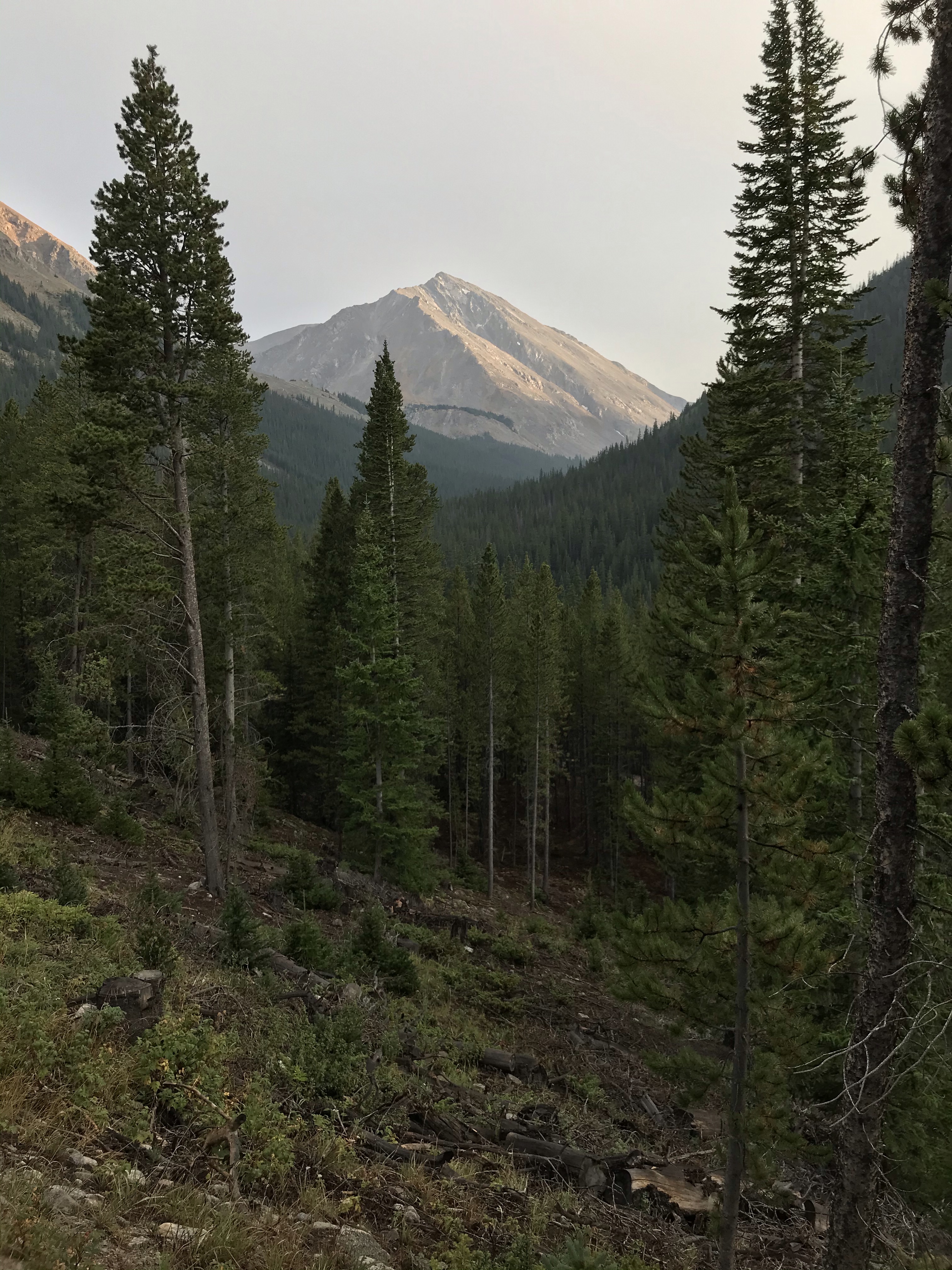
Having been hunkered down in Salida for the past few days in this storm, I feel like I’m on a different planet. Reflecting on the past week of hiking, it seems like it was months rather than days have past since I was on trail. The trail between Tennessee pass and monarch pass was warm and beautiful, lots of high elevation passes and great views!
Entering the wilderness area
Holy Cross Wilderness area
Mount Hope
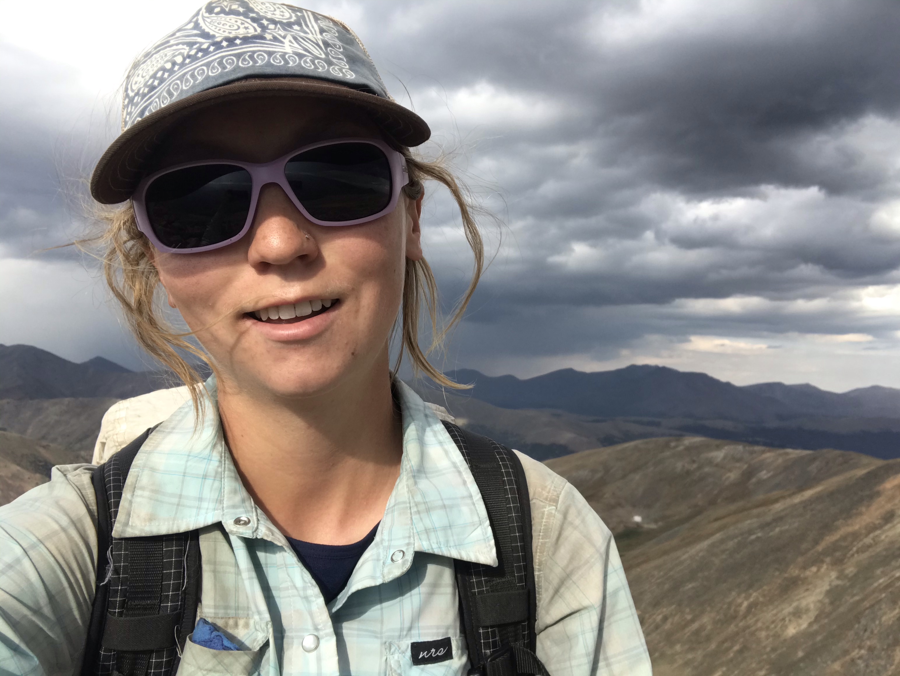
Crazy hair out of the hat at the top of Hope pass
Leaves turning in the high country
North and West Apostle and Ice Mountain
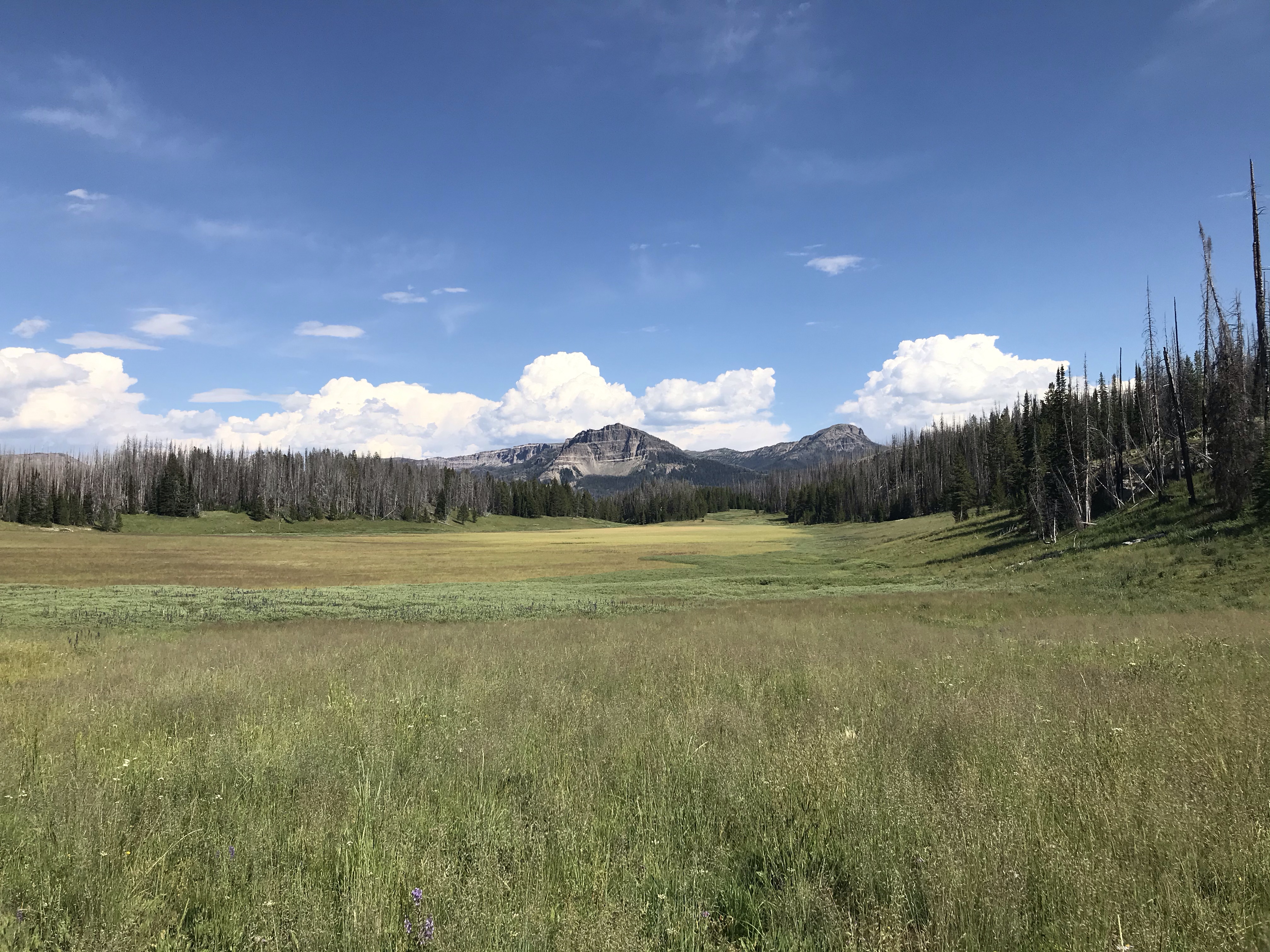
View from camp, looking back toward Hope and Quail peaks
Lake Ann
View looking out from lake Ann pass
Moose in the mud
Backside of Ice mountain
Collegiate wilderness area
My second to last night out, after receiving an update on the incoming storm, I hiked late to make sure I made it to US 50 before the storm hit.
Cottonwood pass
Ridge south of cottonwood
A beautiful sunset!
I’m tired
Red eye of the sun
View from camp the next morning
I hiked past dark with my headlamp and after 9pm laid down at the first flattish spot I could find. There was a little bit of shelter amongst the willow shrubs.
Finally, I hiked through wind and smoke up and over five 12,000 ft passes to the monarch mountain lodge. I picked up my resupply (I hadn’t been planning on stopping in town here) and caught a ride into Salida. Mark came down since he had a few days off work to spend some time with me. I sure am grateful for the great company!
Pretty clear to start the day
Hard to complain about these views
Harder to see these views
I bet it’s pretty out there
Last pass of the day
Atop the last pass for the day above Hancock lakes, tired of breathing smoke
Smoke continued to get worse throughout the day, I was glad to get out of it
Monday, I hiked out near monarch pass and got a ride down into Salida before temperatures began to drop and snow began to fall.
Snow just beginning to stick
An impressive September accumulation after only the first afternoon of snow
I’m thankful to have a place inside to sleep during this storm, but I’m really missing being on trail. I’m still waiting to see how today plays out to figure out how/when to get back out there. Hopefully I’ll be back to hiking sooner rather than later! -Nic
Awesome art at a coffee shop in Salida. Really has me missing the trail
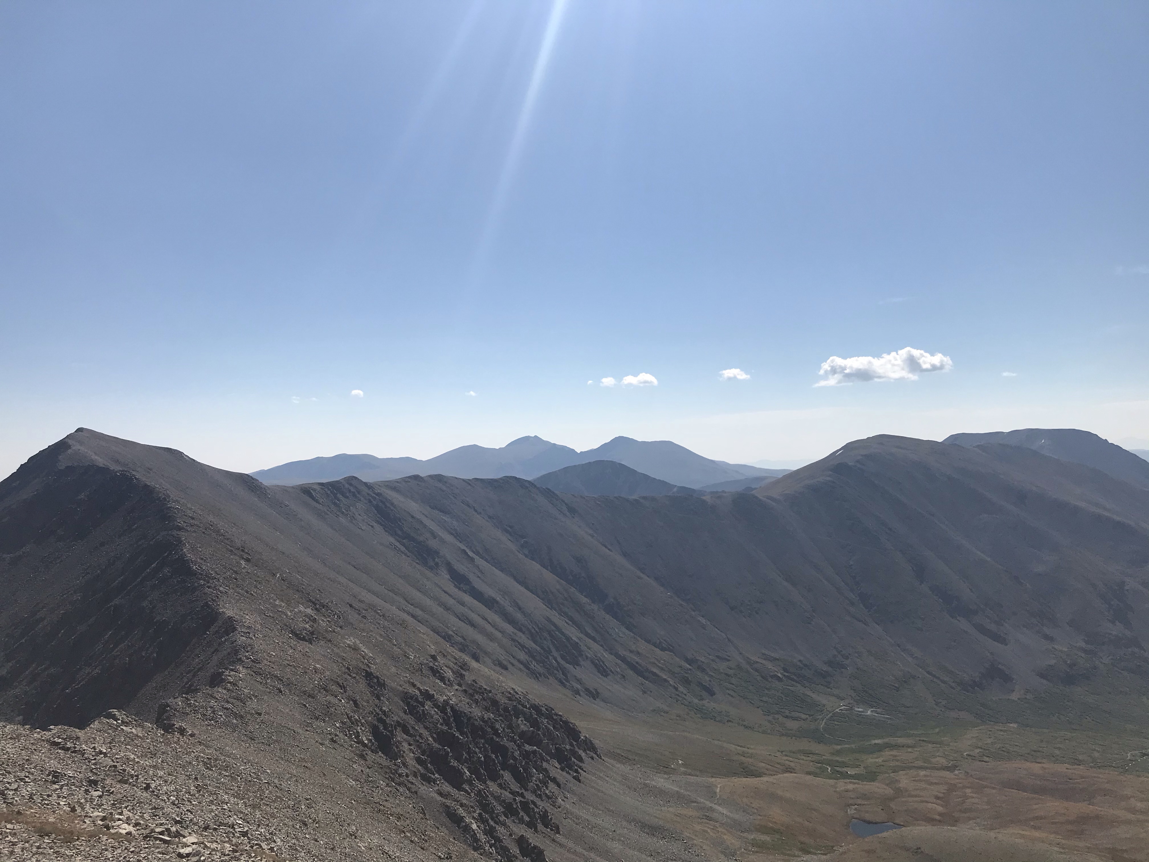
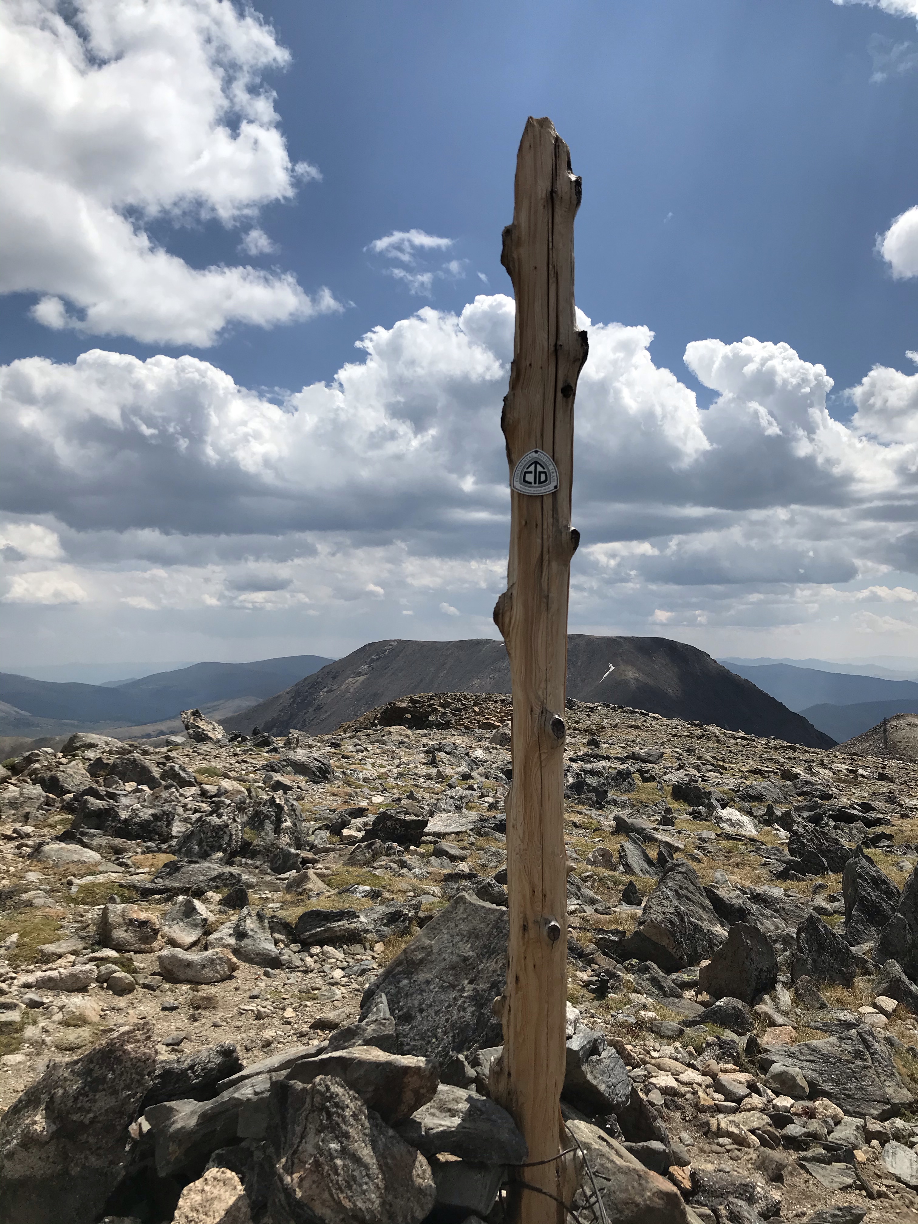
The summit of Grays peak is the highest official point of the trail at 14,278 ft. I summited last week as a part of one of the most physically challenging days of hiking I have had so far. Although it was not a particularly high mileage day, I did a lot of climbing and spent almost the whole day above 12,000 ft. without much water. Certainly exhausting, but it was a beautiful day! The photos below are a chronology of the summits from that day.
Hiking toward the trailhead, beautiful evening view of Torreys
Hey we skied that this winter!
Standing on top
View of torreys from Grays
Torreys peak
Looking at Grays peak from torreys
Grays peak
On top of grays
Grays peak
Challenging ridge between Grays and Edwards
Edwards peak
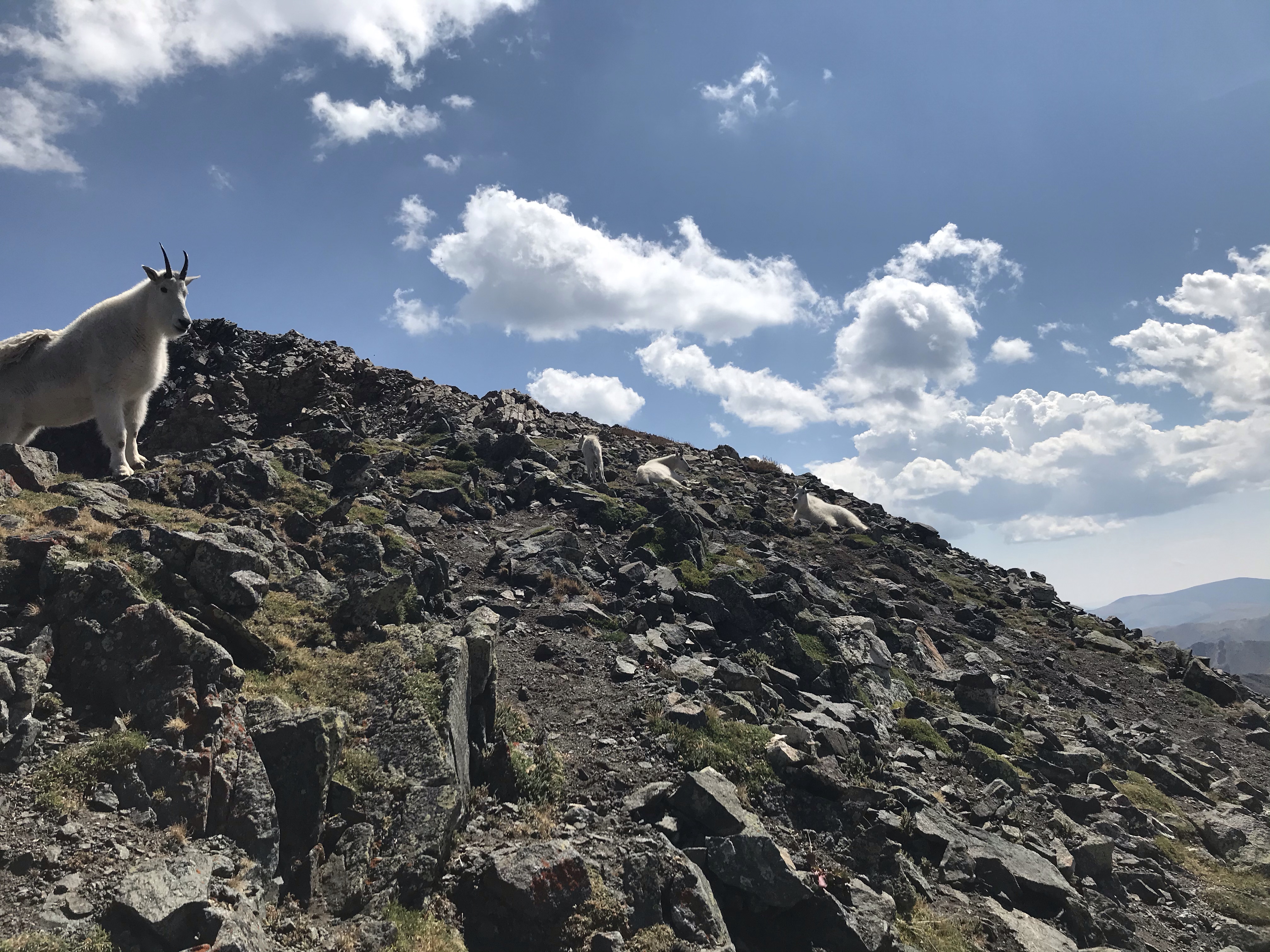
Mountain goats
More Goats!
View from Edwards
Sitting on top
Edwards peak
Still feeling strong at this point
Argentine peak
That dot on the snow has skis on
Looking back up Sullivan at a guy carrying skis
Starting to wane
I’ll camp at the bottom of those switchbacks, just a few more miles on the ridge before I get there
Sullivan Mountain
I don’t really want to climb that
Made it
Great views though!
Geneva peak
At the end of this long day, I camped with Jedi, who had hiked a slightly different route. The next morning he caught a moose strolling through our camp! That’s my tarp in the background.
After mostly doing 6-7 day resupplies through the first half of my hike, the past few stretches between towns have felt quite short!
I got a late start out of Grande Lake and hiked toward the Indian peak wilderness area. I then hiked through the James peak wilderness/protected areas down toward Georgetown.
Exciting to see some clouds over Grande Lake
Leaving town
Looks like I’ve got a friend ahead!
What luxury!
James peak
One of these rocks is a bird
A quick view into James’s East face
Weather held out for a nice evening summit of James peak
Hazy view from the summit of James
Looking back from where I came
I thought this was a beautiful tree
A day after leaving Grande Lake, I caught up with Jedi. We hiked together into Georgetown along the Williams Fork Fire reroute for our next resupply. Awesome to have some company!
Hiking with Jedi
Clearest view I’ve seen in a week!
This sign had Jedi second guessing my navigation into town
Looking East on the I70 corridor above Georgetown
Looking toward Georgetown
Walking past Sliver Plume
My next stretch will include a summit of Grays peak, the highest point of the trail! It looks like Jedi and I will be able to spend at least a few more days hiking together, enjoying some high peaks and rocky ridges. -Dusty
After eating lots of great food and enjoying one another’s company, Mark dropped me off at the trail. I had a great birthday in Steamboat and enjoyed some really fun trail thereafter.
Oh good I almost forgot which way I was going
Trail crews workin hard here!
It’s been a smoky week. The views, beautiful nonetheless, have been reasonably obscured by the haze.
Looking up toward parkview
Old fire lookout
Smoky!
Heading down the ridge
Parkview lookout
Looking into the wilderness area
Bowen
Moose, zoomed in in the next photo
Bowen pass area heading into the Never Summer wilderness area
I stayed in Grande Lake with a few other thru hikers and did the Rocky Mountain National Park section of the trail as a day hike. There is an amazing trail angel here who hosted us; she let us camp in her yard and fed us dinner and breakfast!
😁
Always a treat to eat some fresh vegetables!
Another amazing meal!
Jedi, another SOBO through hiker, bought me a cupcake for my birthday and Karen brought out some champagne for birthday celebration round two!
Perks of park hiking- steps
Cascade
Top of a glacier
Hello mr. Marmot
Granite falls
Rocky Mountain National Park
It was great to hike through the park without the weight of my full pack, I felt weightless! I’m looking forward to more high passes and fun hiking in the rest of Colorado! -Nic
I left Rawlins, WY via an alternate to the official CDT along hwy 71. The water situation leaving Rawlins was even more precarious than going into town along the official route. All of the surface water in the first 32 miles after town is either too alkaline or too saline to drink. The first potable water source on the official route is called “muddy creek,” advertised as a real treat compared to the other water options around. All of that to say, I elected to take the road alternate which boasted a faster route to cleaner water. I ended up getting lucky— three different people stopped to give me bottles water, so I didn’t have to filter any water along the road! The 30 miles of pavement did make for a hot day though.
I was excited to leave the road and the plains and head back into the forest! While the trees provides some welcome shade, it was still a hot week. For three days straight I didn’t see a single cloud!
First forest I’ve been in for almost a week!
Heading into another wilderness area
Clouds on the horizon? -No, just smoke from CO wildlifes
On August 16th I crossed into Colorado!
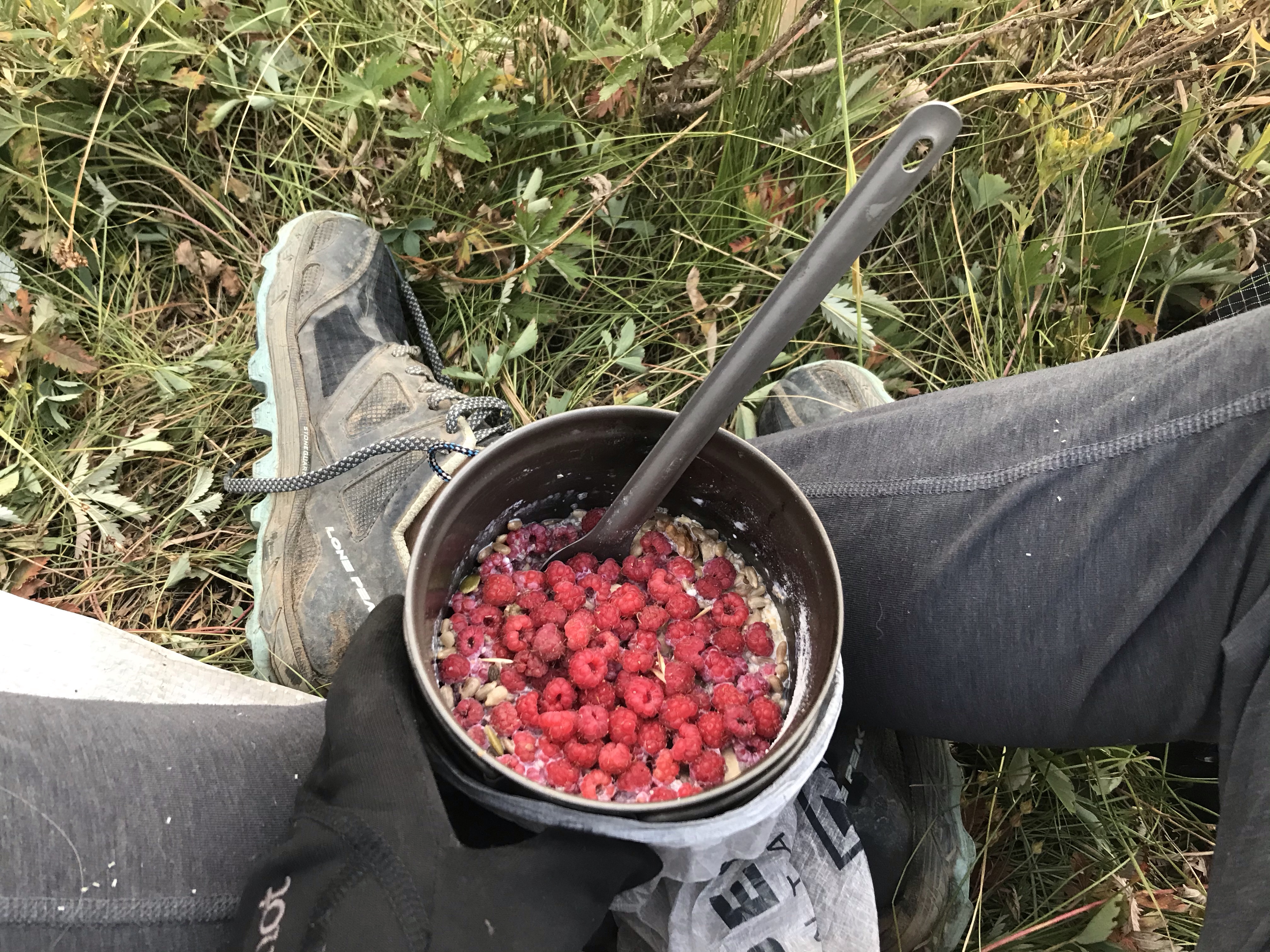
My favorite fruit
Even gathered enough for breakfast the next morning
A definite high point of this week was finding a huge patch of raspberries right along the trail. The berry picking really slows down the hiking speed, but it was well worth it.
After walking through the Wyoming desert, the climb up to 11,800 ft felt like a challenge. Lots more climbing awaits, and I’m excited for the mountain views and experience that this tougher terrain provides
Some welcome cloud cover
At the top of my first climb in Colorado
Atop a ridge in the my Zirkel wilderness area
A beautiful little stream
Luna lake
Mark hiked out to meet me on trail outside of Steamboat where the trail comes near rabbit ear pass. After two months apart, we were more than excited to see each other! I took a day off in Steamboat— my first full day off in over a month— to rest and spend some time with Mark. We’ve been eating lots of good food and enjoying one another’s company.
Thanks to everyone who sent letters! I can’t think of a better birthday gift. It means so much to me that I am able to share this journey with everyone reading! -Nic
After a lovely stay at Wild Bill’s bed and breakfast, I left Atlantic City, WY into the Great Divide basin, but not before enjoying a slice of strawberry rhubarb pie and coffee for second breakfast.
Hitting the trail
The past four days have been hot, dry, dusty and filled with cow poop. This was one of the most difficult stretches for me. The days felt really long and the terrain was not always inspiring. The first night out, I realized there was something wrong with my stove, and, too tired to fix it, I just cold soaked my food for the past three days. Most of the time, I really just felt like I was walking from water source to water source, not really hiking. As a fun bonus, most of the water sources were littered with cow poop and cows pooping. Luckily, I was able to download some podcasts before I left so I had something to listen to other than the wind.
About 70 miles out of Atlantic City, if there had been a way for me to get out of there other than walking I would have taken it. That day I had started off by hiking through seven miles of really fine sand, then spent 20 miles staring at this same, never ending view. At noon, I was hot, tired, tired of the smell of cow poop and in the middle of a 17 mile stretch between water sources. This was the most disenchanted I had felt with the trail in the entire time. However, there was nothing to do but walk on, so I trudged ahead.
The hiking was fast since it was mostly flat 4×4 roads, so I put in my longest day so far—37 miles. I did another big day after that too. Needless to say, I was worn out by the time I got to Rawlins. The motel here has served as a real luxury—a hot shower, air conditioning, clean sheets; a great birthday present, thanks Kelly!
Had to carry a stick to set up my tarp since there were no trees to be seen
Water cache!! A true oasis
Mr. lizard is camera shy
Sun protection
Feral horses
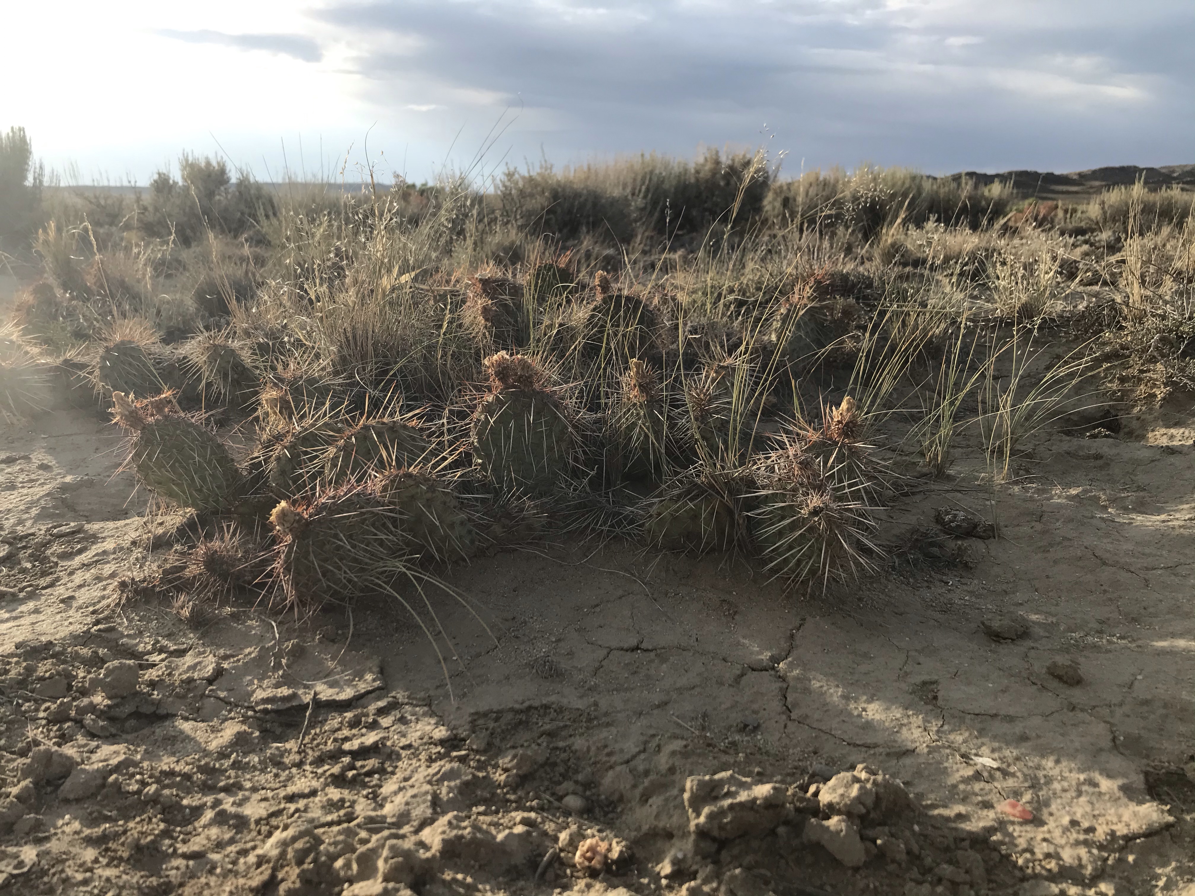
Prickly pear
Antelope shed
Beautiful red sunset lighting
Natural gas pad
Desert essentials
I have finally committed to a trail name. Since I began this adventure, my mom has really enjoyed brainstorming trail name ideas for me, since I told her there are really no rules to the trail name game. Most often, trail names are given by other hikers, but lots of people name themselves and it seems just as reasonable that ones mom should bestow a trail name, right? Anyhow, Dusty was one of MANY trail names my mom recommended and it’s the one that’s stuck! It just felt pretty appropriate to my current situation; and it reminds me of my favorite early memories of playing outside as a kid in New Mexico.
Big thanks to everyone for reading! I look forward to reading some letters in Steamboat! -Dusty
Wow, the wind rivers were amazing! I think it’s safe to say that this was the most beautiful place I’ve ever been. My odometer officially ticked over the 1000 mile mark this week; I’m just over a third of the way through the trail.
I entered the range at Lower Green river lake where I was greeted with impressive views of square top.
The green river
Blown away by the color of this water
This place is pretty cool
Hiking up the green river valley, the views only became more impressive
Peak lake in the background
Stroud peak
On and around Cube rock pass
I then hiked southeast, coming over Texas pass near the cirque of towers. I spent a night at lonesome lake enjoying the impressive views of Pingora and the Cirque of Towers.
Headed toward texas pass
On top of texas pass
First views of Pingora
More views coming down texas pass
Pingora and the Cirque of towers from lonesome lake
Catching a little alpenglow
Pingora just keeps getting more impressive!
View from jackass pass
Views over Texas and Jackass passes
Finally, I hiked out of these dramatic peaks over temple pass headed toward my resupply in South Pass city. The terrain opened up and I was welcomed by some gusty winds.
Temple lake and peak
Leaving the wilderness
On and around temple pass
On the road again
This historic inn is owned by the b&b owners as well
South Pass and Atlantic City
As amazing as the hiking was, this past week was pretty challenging. This was a little bit of a longer resupply for me, and I was really feeling bogged down by the food weight at the beginning of the week. Going into the Winds my legs were feeling really tired. This is the highest elevation I have been at for a while, so I haven’t been recovering as quickly or sleeping as well. Luckily, this was an awesome place to do some shorter days and take a little more time enjoying the views.
There were a ton of people in this area. The Bridger and Popo Agie wildernesses have quite a few different access points and the Wind Rivers are amazing, so there were quite a few folks out day hiking or in for shorter backpacking trips. Usually, I like taking the time to chat with the people I run into on trail, but there were way too many people out and about for that on this go round. After a day of answering the same questions over and over again (“You’re out here alone?” “Why’d you decide to go out and do that?” “How many miles do you hike a day?” “Aren’t you scared by yourself?”), I had to implement a smile and wave policy when passing groups.
Of course, I’ll repeat myself ten times over to the same person if they ask my favorite question—“would you like something to eat?” (This makes it sounds like I don’t carry enough food. I have plenty of food, but I’m always hungry. And there is something endlessly refreshing about eating food that didn’t come out of my food bag.)
Not all of my people interactions were so menial either. After I picked up my resupply at Brooks Lake (before heading into the Winds) I stayed at a forest service campground and was greeted with wonderful hospitality by the most amazing camp hosts I’ve ever met. When I got there all the sites were full but John (one of the hosts) let me set up my tarp on their site for free. He then showed me to their campfire/picnick area and told me “now this is the senior center, you’re a too young to go here, but we’ll let you visit.” They cooked me squash and potatoes in a hobo pack over the fire and even gave me a slice of homemade cherry pie! Some of their friends were staying at the campground with them, and they were all such great company. It was so relaxing to just sit around the fire and listen and talk to such friendly people.
I had some more great company at the Green river lake campground. Susie and Ken were my camp neighbors. They were a recently retired couple visiting from Mississippi. They pointed me to the water spigot, and they had an adorable dog. Susie and I talked for a long while about how spending your days out in beautiful places like these puts your relationship with loved ones into perspective. There is nothing like feeling small in the face of nature to make you appreciate the good things in life! She wrote down these song lyrics for me to read on the trail. Said she’d had this song running through her head since she’d been here.
After picking up my resupply box in South Pass City, I did a quick walk over to Atlantic City and have enjoyed an amazing night at a hiker/biker b&b. They have cabins that they only rent to hikers and bikers, they serve breakfast in the morning, and I was greeted with lemonade and cookies! The owners are incredibly kind and welcoming. I also got to take my first shower since I’ve been in Wyoming! I’m all cleaned up and ready for the dusty trail!
I’ll be headed into the Great Basin next—a long hot walk through the desert awaits, but I’ve heard that most the water sources are flowing well. Water sources in this stretch are mostly wells and farm ponds, but carries are not more than 10-15 miles mostly. I look forward to catching up some more in Rawlins! -Nic
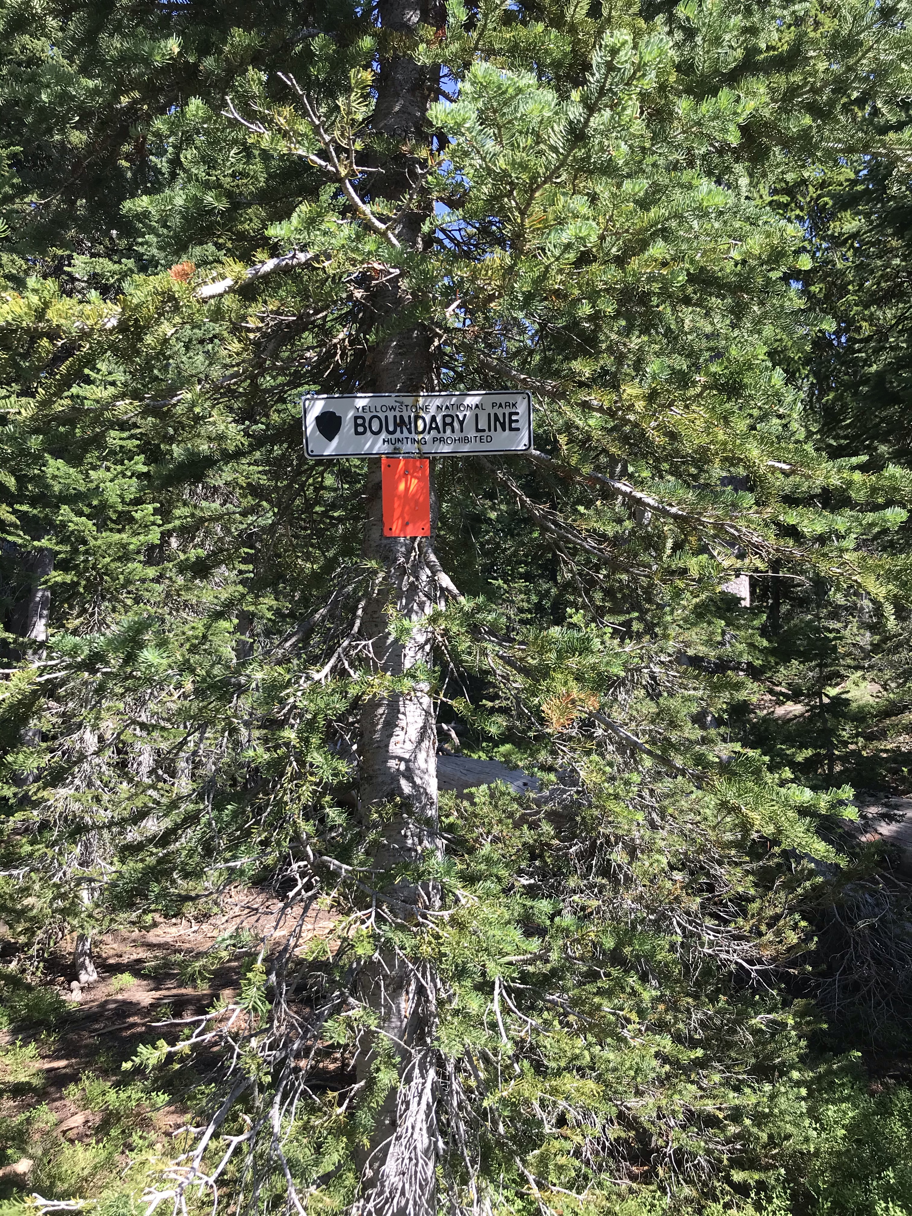
On July 27th I crossed over the Wyoming border in Yellowstone National Park! I’ve hiked over 900 miles at this point, and I’m just over a month in!
I’m Lima, I caught up with a couple other southbound thru hikers, who were taking a few days off. It’s always great to run into other hikers, and since then, I’ve started running into quite a few northbound hikers! It’s exciting to see folks who have made it this far from the Mexico border! In and around Lima I also ran into a few bike packers who were on the Great Divide Route. Really fun to talk to them; I think bikepacking might be my next adventure, but let’s finish out this one first.
The hiking from Lima to Yellowstone was pretty tough going. The terrain wasn’t particularly challenging, but that seemed to leave plenty of room for other hardship. There were tons of black flies and mosquitoes in the area. The bites were painful and itchy, and I could barely hike fast enough to outrun the bugs! I spent most of those days in my head net, wearing long pants and with my shirt all the way buttoned up. To finish off the stretch, I had to hike a hot 26 miles between water sources to get into Yellowstone National Park. I must have looked pretty haggard by the time I got to my camp and water source in the park, because I ran into some rangers who seemed pretty concerned about me, they even stopped in on me when I was at camp just to make sure I was okay! Of course, it was not all bad news. I did enjoy some beautiful views and got to see a lot of wildflowers in this area!
View shortly after leaving Lima
Awesome wildflowers, unfortunately the flies think so too
More flowers!
Spent some time hiking through a Sheep experiment
Cool rock formations surrounding Hell Roaring Creek
One of the bike packers I ran into— we have the same shirt! (Her’s is a lot cleaner)
A rainy day on Raynolds pass
Pretty pretty
This ridge walk provided some welcome relief from the flies
Goodbye beautiful ridge, hello bugs
“The can is beautiful, the road is ugly”
Black canyon road heading into Yellowstone is HOT
Stepping into the park, 7 more miles to water
Water! And camp— at summit lake on the west side of Yellowstone
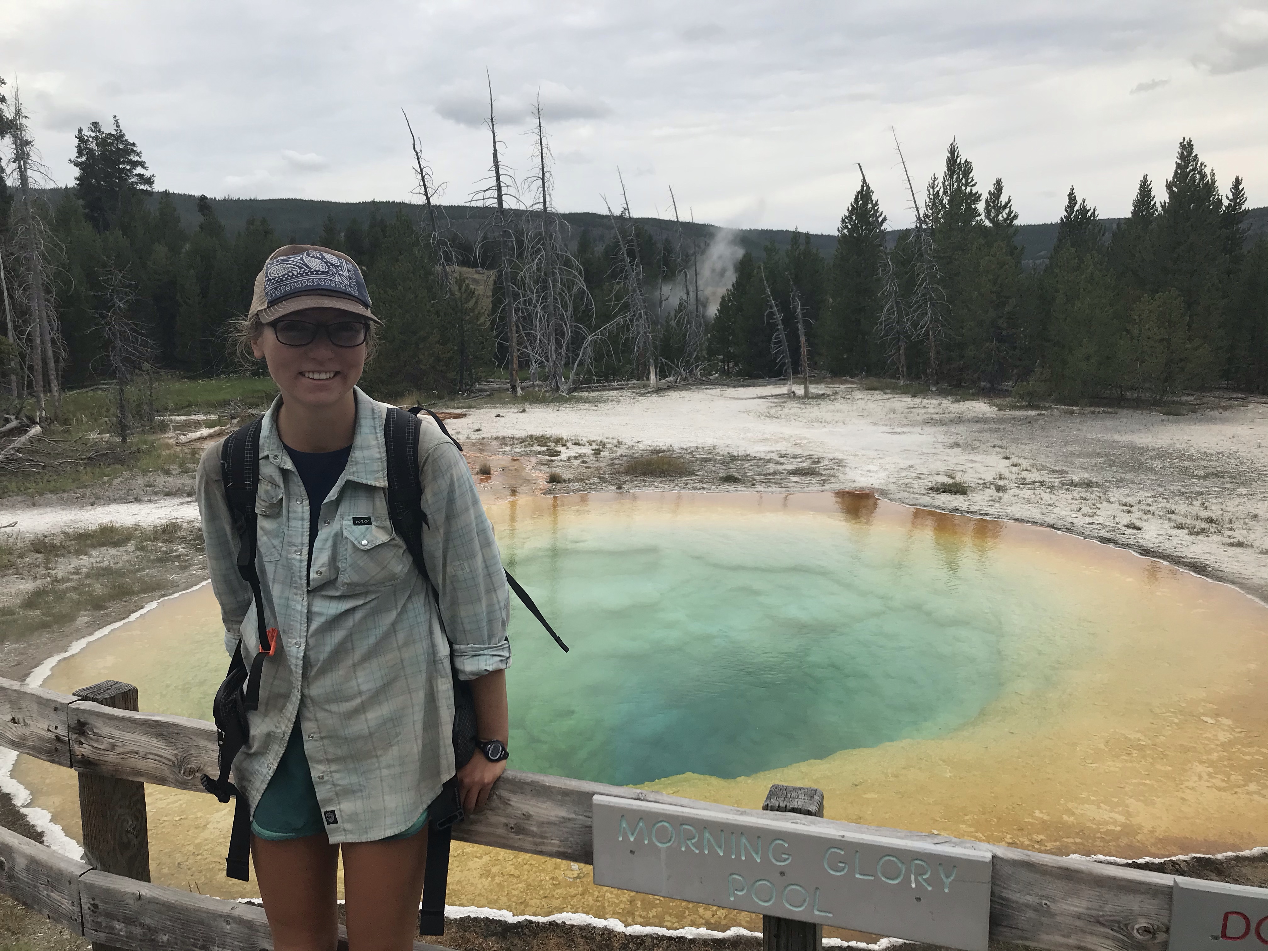
Yellowstone was quite an experience. I hiked in from the northwest side of the park which is mostly flat and dry. Coming into the part of the park with the geysers and springs (and people) I felt like I was stepping into another planet. Old faithful village was packed and a bit overwhelming, but I was still happy to be there to see the park. I was so blown away by this place. I feel really lucky to get to experience the park, and especially lucky to just be able to walk in!
Unfortunately, the mosquitoes were also pretty into the park. In fact, it was probably the most mosquitoes I’ve ever seen. Night two in the park, I was relieved that it was raining. Usually, that brings some relief from the bugs, but these mosquitoes were strong! I guess getting to camp I had been hiking fast enough that they weren’t biting, but once I slowed down they attacked. I think I got 20 bites just in the time it took to set up my tarp! The next day, the trail traveled through a marsh which served as an especially welcome environment for those horrible bugs. My last night in the park, however, was pure bliss. I got to camp a little earlier than I expected, enjoyed some amazing views, and it finally cooled off enough for the bugs to die down. I ate a great dinner, slept well and woke up the next morning happy to be there!
Seeing my first pool of this kind
Nice not to have to take selfies!
Ayayay
Castle geyser
Watching old faithful erupt
A beautiful evening hike
Hot pots in the Shoshone geyser basin
Such a cool trail!
As one hiker noted “this is less of a trail and more of an aquatic experience”
The mosquitoes trapped me inside this net
Headwater of with creek
Looking down at heart lake where I camped my third night in the park
View from heart lake
Photos from Yellowstone National Park
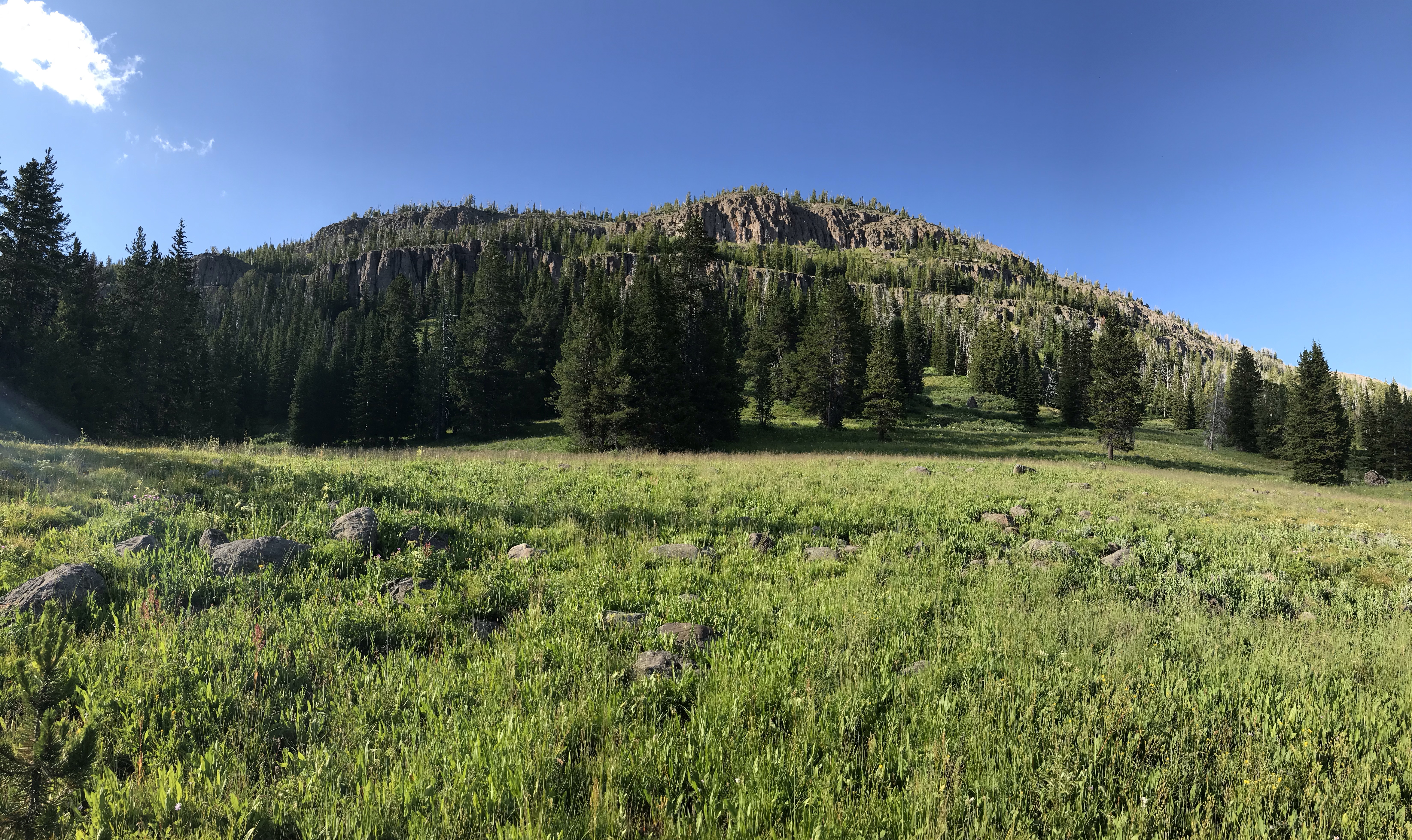
From Yellowstone, I entered the Bridger-Teton Wilderness area. Apparently, this is a really popular horse packing area, so the trail was a little torn up, but the hiking was beautiful! Mosquitoes were not nearly as bad, and I actually saw a lot of hikers: few more northbound cdt hikers, quite a few folks going from brooks lake to Yellowstone as a section hike, some horse packers, and a NOLS course nearing the end of a 30 day expedition!
Out of the park, into the wild!
First glimpse of some of the amazing geological formations in this area
Enjoying an evening view
Two ocean river, diverges at this point to both the Atlantic and the Pacific
Always cool to see a waterfall!
Quite a silhouette
A seven lane horse highway
Feeling lucky to be out here!
Leaving the wilderness area
View from just outside the wilderness area
Another impressive peak in the distance
Photos from the Bridger-Teton Wilderness
I’m really looking forward to the next part of my hike through the Wind River range. Actually this is the most excited I’ve been about a section of trail so far!
One final note: my birthday is coming up near the end of August. This year I’m asking for letters! I’ve loved keeping this blog, and I’m happy to be able to share my experience with you all, but I sure do miss hearing about and being a part of everyone else’s lives. So, if you’re willing and able you can send a letter to the Steamboat Springs post office. I should be there around the time of my birthday. Please address the letter to Nicolette Jones/ General Delivery/ 200 Lincoln Ave/ Steamboat Springs, CO 80487. Make a note on the letter to “Please hold for a CDT hiker. ETA: August 20th.” Usually the post office will hold letters only up to two weeks, so maybe send out letters around the 10th. If you don’t get a letter out by that time but still want to sent me one, you can send it to my parents house and they will send it in my next resupply. Text or email me for that address. Thanks to everyone who is reading! -Nic
The past few days have been hot, dry, and dusty, but luckily there has been plenty of cattle grazing in the area, so it almost always smells like cow poop too!
On the road again
Lima, MT is another small town wonderfully welcoming to hikers. The Great Divide bike route also goes through here, so they see quite a few cyclists as well. I met a bike packer about my age here, and have seen some other thru hikers too!
Getting here primarily involved walking dirt roads and traversing grassy hills. While the terrain may not have been the most exciting, I’ve really enjoyed myself the past couple days. My knee has been getting much better and I have been able to hike a little bit faster and put in some longer days. I have also gotten to enjoy some great conversation with hikers headed the other direction. One day, I stopped for probably half an hour with another solo female who was headed north. Her trail name was Gigi and she just cracked me up! A new goal of mine is to take pictures of/with the people I meet. I always leave these sort of interactions wishing I had!
Following the trusty sign posts through grassy hills
Finally cooled down enough to let down my hair
I ended up taking a cutoff into town on some dirt roads so I wouldn’t have to deal with the hassle of finding a ride at the highway, so I got to town a little earlier than I had planned. Luckily almost all of my re-supplies in Wyoming are “on trail”— Wyoming will be a lot more road walking, but it sure is nice not to have to deal with the stress of finding rides! The hiking part of this trail is easy, it’s the town stops that are hard! -Nic
I wasn’t planning on stopping in town for another few days, but shortly after leaving Darby I realized that I had forgotten to buy fuel for my stove! I only had enough for a few boils when I started this stretch, so instead of cold soaking my meals for the last five days, I decided to get a ride into Leadore (pronounced lead-ore, not lee-a-dore), and pick up some more fuel. Luckily, this town sees a lot of hikers so they had exactly what I needed. The owner of the inn gives rides to hikers from the road into town and allows camping on his property. I got to read through a hiker log book and write my own entry. (I think I’m catching up to a few more hikers!) I also got to enjoy the amazing company of some locals, including a little bit of live music on the porch of the Leadore Inn.
One foot in Montana, one foot in Idaho
I think they forgot a piece to this bridge
An impressive view
Another beautiful alpine day!
Snow!
Looking back at the pass I came over
A beautiful sunset to end a long day
Set an alarm for the first time since I started on the trail to make sure I made my ride on time, enjoying the morning hike
I was a little bummed to have to stop in town because I was feeling pretty good on this stretch. My knee is feeling much better— I was able to ditch the hiking sticks. I have been able to push a few more miles and hike a little faster than I have in past weeks.
Another SOBO thru hiker, Puzzler, and I hiked together for a while! We were welcome company to one another in a fairly remote stretch!
I’m feeling a lot more confident than I was last week, looking forward to some more adventures to come! -Nic